CHC Navigation (CHCNAV) delivers cutting-edge navigation, positioning, and mapping technologies for diverse applications spanning geospatial, construction, navigation, and agriculture sectors. The company’s comprehensive solutions include land, marine and airborne surveying, GNSS systems, 3D LiDAR reality capture, precision agriculture tools, unmanned navigation, robotics, and real-time GNSS infrastructure.
 With over 1,900 employees globally and distribution across 130+ countries, CHC Navigation maintains close customer relationships to address evolving needs in dynamic environments. The company’s worldwide presence ensures responsive solution delivery tailored to specific challenges.


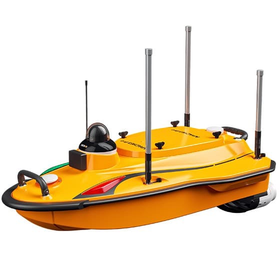
 AlphaUni 1300

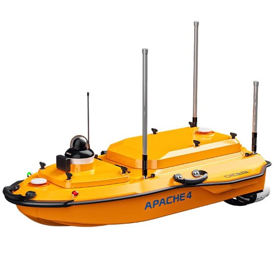
 CoProcess 2025
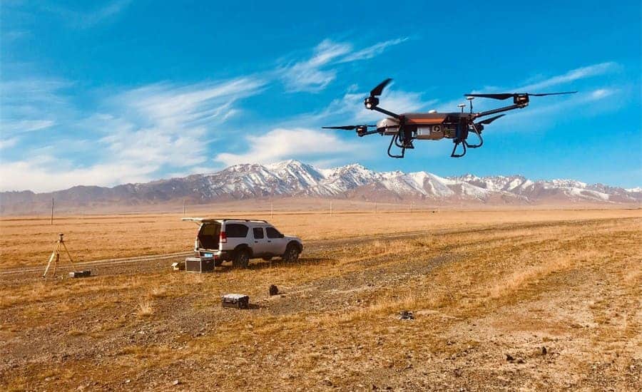
 X500 Multirotor Drone
 C5 Aerial Survey Camera
 C30 Aerial Survey Camera
 CGI-830 GNSS/INS Integrated Receiver
 CGI-230 Combined Inertial Guidance Sensor
 CI-710 High-Performance IMU Sensor