
Autonomous Navigation & Positioning
Find Autonomous Navigation companies and suppliers of positioning technology for autonomous vehicles, drones and robotics; UAV, UGV, USV & AUV
Category Presented by


Suppliers
Add your company

Advanced Navigation
High-Accuracy Navigation & Positioning Solutions for Unmanned & Autonomous Vehicles

Platinum Partner

Trimble Applanix
Precision Positioning & Orientation Solutions for Unmanned Applications
Platinum Partner

ANELLO Photonics
Resilient, High-Precision Inertial Systems for Autonomous Aerial Systems & Robotics
Platinum Partner

Greensea IQ
Robotics and Subsea Technologies for Defense, Commercial & Science Applications
Platinum Partner

VectorNav Technologies
High-Performance Inertial Navigation Systems (INS) for Unmanned Systems
Platinum Partner

Exail
Inertial Navigation & Positioning Technology for Unmanned, Autonomous Systems
Platinum Partner

Teledyne Marine
Autonomous and Unmanned Marine Vehicles: USV, AUV, Marine ROV; Profiling Floats & Towed Systems
Platinum Partner

Microstrain by HBK
Inertial Sensors, MEMS IMU, AHRS Systems, Vertical Reference Units & GNSS-INS for Unmanned Systems
Platinum Partner

Inertial Labs, a VIAVI Solutions Company
Inertial Navigation Sensors: MEMS IMU, Accelerometers, Gyroscopes, AHRS, GPS-INS & Point Cloud Generation
Platinum Partner

SBG Systems
Inertial Navigation Systems, INS/GPS, AHRS, and IMU Sensors for Unmanned Systems

Platinum Partner

NovAtel
Precise Positioning for Unmanned Vehicles: GPS & GNSS Receivers, Antennas & Inertial Systems

Platinum Partner


Harxon Corporation
High-Precision GNSS Antennas: Assured Autonomy & Positioning for Unmanned Systems
Gold Partner


EMCORE Corporation
High Performance FOG, RLG, and Quartz MEMS Inertial Sensors - Gyros, IRU, IMU, INS

Gold Partner

Gladiator Technologies
MEMS Inertial Sensors: IMUs, GPS-Aided INS, Gyroscopes, Accelerometers, AHRS
Gold Partner

Sonardyne International
Tracking, Navigation, Positioning and Communication Sensors for AUV, ROV, USV
Gold Partner
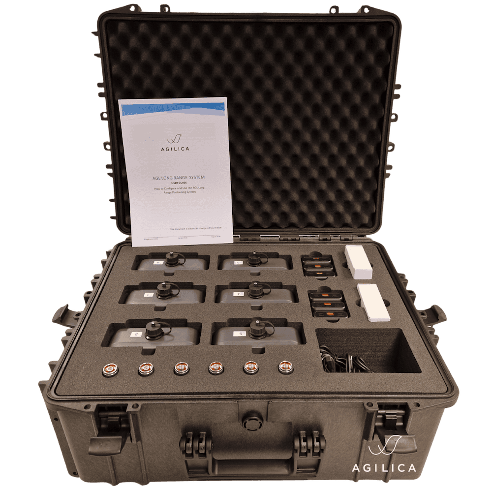
Agilica
High Accuracy Real-Time Positioning System For Autonomous UAVs & Robotics Operating in GPS-Denied Environments
Silver Partner

Wavefront Systems
Underwater Sonar: Side-Scan Imaging Sonar & Forward Looking Sonar for Obstacle Avoidance & Navigation
Silver Partner


CHC Navigation
GNSS Positioning & Navigation Systems, Mobile Mapping UAV LiDAR & Unmanned Surface Vehicles
Silver Partner

Silicon Sensing
MEMS Inertial Sensor Solutions, IMUs, Gyroscopes and MEMS Accelerometers for Unmanned Vehicles
Silver Partner

UAV Propulsion Tech
UAV Hardware Solutions: Propulsion & Fuel Systems, Servos & Flight Controllers, Imaging Solutions, Launchers & Parachutes

Silver Partner
Showcase your capabilities
If you design, build or supply Autonomous Navigation, create a profile to showcase your capabilities on this page
Products


Autonomous Navigation & Positioning

Autonomous navigation allows unmanned vehicles and robotics to follow preset waypoints or plan their own routes without input from human operators. This may require inputs from a variety of different sensors and data sources, and onboard vehicle computing systems may also make use of technologies such as artificial intelligence, computer vision and machine learning.

GEO-FOG 3D INS & AHRS by KVH
UAVs (unmanned aerial vehicles) may require autonomous navigation as part of BVLOS (beyond visual line of sight) operations.
Collision and obstacle avoidance is a crucial part of UAV autonomous navigation, and a robust solution is essential for the required level of safety that must be demonstrated in order for such drones to be certified to operate. Autonomous positioning may also be required for station-keeping and loitering applications.

Advanced Navigation’s Boreas D90 Digital FOG INS
Drones may use GPS/GNSS receivers, inertial navigation systems (INS), LiDAR scanners, ultrasonic sensors and visual cameras to navigate autonomously. They may also use a navigation technique known as SLAM (Simultaneous Location and Mapping) to create a map of their surroundings and understand their position within it.
UGVs (unmanned ground vehicles) and self-driving vehicles typically use a combination of GNSS, inertial measurement, and either LiDAR or cameras to provide autonomous navigation and collision avoidance capabilities. Sensor fusion is essential for the system to integrate the different sources of information in order to build an accurate model of the surrounding environment.

Phins Subsea – iXblue’s high-performance INS for deep-water operations
USVs (unmanned surface vessels) may use autonomous navigation to undertake long voyages in marine and maritime environments. In addition to LiDAR navigation and camera sensors, they may use AIS and weather data to plan the most favorable route, avoiding other vessels and challenging waters.
AUVs (autonomous underwater vehicles) cannot rely on GPS or GNSS signals for navigation, as radio waves do not penetrate well in water. In addition to internal navigation systems, they may use acoustic solutions such as USBL (ultra-short baseline) and DVLs (Doppler velocity logs).


