Radar Processing Software

Find suppliers and manufacturers of Radar Processing Software, including Radar Tracking and Data Visualisation Software for unmanned aerial, ground and marine radar systems

Suppliers

Add your company
Exail

Inertial Navigation & Positioning Technology for Unmanned, Autonomous Systems

Areté

Cutting-Edge Unmanned Systems-based Sensing Solutions & Counter-UAS Systems for Military & Defense Forces

Tocaro Blue

Smart Marine Radar Processing Solutions: Advanced Perception & Situational Awareness for Uncrewed & Autonomous Vessels

IMSAR

High-Performance Synthetic Aperture Radar (SAR) for Unmanned Aerial Vehicles (UAV)

Cambridge Pixel

Radar Software & Sensor Processing Solutions, Maritime Radar Control, Tracking & Visualization for USV

EIZO Rugged Solutions

High-Performance Video Graphics, GPGPU, AI/ML Processing & Display Solutions for C5ISR Applications

Sunhillo Corporation

Radar & ADS-B Surveillance Data Fusion, Integration & Display | UAV Tracking & ATC Integration

Showcase your capabilities

If you design, build or supply Radar Processing Software, create a profile to showcase your capabilities on this page

Create Supplier Profile

Products

ART

Radar processing framework for counter-drone surveillance

Radar processing framework for counter-drone surveillance
ART (Areté Radar Tracker) is a radar processing framework designed to provide enhanced counter-UAS...
ProteusCore

Advanced radar processing software for enhanced USV perception

Advanced radar processing software for enhanced USV perception
...earning-driven software package that interfaces with standard off-the-shelf marine radars and...
Proteus Hub

Compact hardware solution for simple & intuitive radar display

Compact hardware solution for simple & intuitive radar display
...he ProteusCore radar processing software to output intuitive 2D and 3D views of the surrounding...
Lisa 3D – C2 & PED Software for actionable intelligence

Fully integrated mission planning and multi-sensor data processing

Fully integrated mission planning and multi-sensor data processing
...lly integrated software package that provides intuitive mission planning as well as real-time data...
Multi-Track Fuser

Surveillance Data Fusion of Radar and ADS-B

Surveillance Data Fusion of Radar and ADS-B
... capability of processing multiple tracks from different sensors for the same target in order to...
SureLine® Software Suite

Advanced radar & surveillance data conversion and processing

Advanced radar & surveillance data conversion and processing
SureLine® Software Suite is the backbone of Sunhillo Corporation’s surveillance gateway products...
SPx Fusion Server

Fuse multiple radars & secondary sources into a single correlated data stream

Fuse multiple radars & secondary sources into a single correlated data stream
... Fusion Server software fuses observations from multiple primary radar videos and secondary sources...
SPx Tracking Server

Radar processing & target tracking software for USVs

Radar processing & target tracking software for USVs
...rver is a COTS radar data extraction and target tracking software suite for USVs that examines polar... ...rated into the processing workflow, allowing for custom solutions that use SPx as the integrating...
GPS Assist

Continuous navigation for USVs during GPS signal loss, jamming or spoofing

Continuous navigation for USVs during GPS signal loss, jamming or spoofing
...PS Assist is a radar-based solution designed to provide a backup navigation capability for USVs...

Radar Processing Software

Sarah Simpson

Updated:

Data Visualization Software for Unmanned Systems

Radar processing software takes in data from radar sensors on board UAVs (unmanned aerial vehicles) and unmanned systems and turns this data into useful actionable intelligence. Depending on the size and capabilities of the unmanned vehicle, this software may be installed on board and interfaced directly with the radar, or work with radar data that has been sent over a communications link or downloaded after the mission.

Radar Processing software

Radar processing software for UAVs

Radar software

IMSAR’s Lisa 3D – C2& PED Software for actionable intelligence

Radar processing software may be installed on a UAV’s embedded computing system as part of a detect-and-avoid (DAA) capability. Such capabilities allow UAVs to navigate safely in shared airspace, avoiding collisions with manned and unmanned aircraft as well and buildings and infrastructure. They are essential for autonomous flight and BVLOS (beyond visual line of sight) operations.

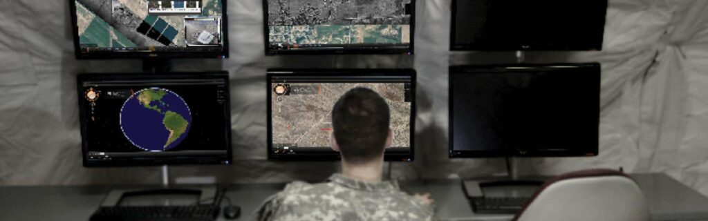
Radar is also used by ground control stations (GCS), unmanned traffic management (UTM) systems and counter-UAS systems for drone tracking and surveillance. Tracking software may combine radar data with other sources of information such as ADS-B feeds, and display the result on a real-time map, showing historical tracks for each target as well as predicted trajectory.

Radar processing for USVs

Radar Tracking Software

Cambridge Pixel’s SPx Tracking Server – Radar Processing Software

USVs (unmanned surface vessels) use radar for navigation, collision avoidance and target detection. Maritime radar processing software may blend onboard radar data with output from EO/IR sensors, GNSS/GPS information, INS (inertial navigation system) stabilization data, and secondary sources of information such as AIS (Automatic Identification System).

In addition to providing autonomous capabilities for the USV, tracking radar software may allow operators to track the vessel and its targets, displaying these tracks on a real-time map. Other facilities built into maritime display and data visualization software may include collision warning alarms, calculation of predictive vectors, and mission recording and playback.

Related Articles

Tocaro Blue ProteusCore Selected for Metal Shark High Speed Unmanned Surface Vessel

Metal Shark and Tocaro Blue are collaborating to integrate advanced radar processing software into a high speed unmanned surface vessel platform for ISR and situational awareness missions

Dec 19, 2025
Radar Modeling Software Optimizes Pacific Weather Network Planning & Infrastructure

New Zealand’s MetService utilizes software from Cambridge Pixel for high-resolution terrain analysis to strategize critical weather radar placement across remote Pacific island nations

Dec 08, 2025
Sunhillo Surveillance Products Achieve FIPS 140-3 Validation For Enhanced Security

Sunhillo has achieved FIPS 140-3 validation for its SureLine and SureSentry product families by integrating its certified cryptographic module, enhancing protection against cybersecurity threats across its surveillance and data-diode solutions

Nov 24, 2025
Enhancing Radar Interpretation with ProteusCore Software

Tocaro Blue’s ProteusCore software applies machine learning to conventional marine radar, delivering improved detection, classification, and situational awareness across vessel operations

Nov 14, 2025
Cambridge Pixel Fusion & Tracking Software Supports BAE Systems Aircraft Testing

Cambridge Pixel has collaborated with BAE Systems to enhance live aircraft trials, leveraging its SPx Fusion Server and ASD-100 air situation display software for robust fallback tracking based on transponder data

Sep 18, 2025
Smart Marine Radar Processing for USVs & ASVs

Tocaro Blue's solutions utilize AI and machine learning to transform existing off-the-shelf marine radar systems into powerful perception sensors

Jul 22, 2025
Cambridge Pixel Collaboration to Advance Police Force C-UAS Technology

Cambridge Pixel and OpenWorks Engineering are collaborating to deliver adaptable counter-drone systems tailored for European law enforcement agencies

Jun 16, 2025
Cambridge Pixel Enhances Offshore Monitoring with Advanced Tracking Systems

Cambridge Pixel has partnered with Elcome (India) to deliver radar-based technology supporting the security and monitoring of offshore platforms operated by Reliance Industries

Apr 30, 2025
Advanced Radar Tracking from Cambridge Pixel Optimizes TSUNAMI™ USV

Cambridge Pixel is collaborating with Textron Systems to enhance the TSUNAMI™ USV by providing advanced radar tracking software for improved autonomous maritime operations

Mar 31, 2025