Suppliers
Add your company

Advanced Navigation
High-Accuracy Navigation & Positioning Solutions for Unmanned & Autonomous Vehicles

Platinum Partner

Trimble Applanix
Precision Positioning & Orientation Solutions for Unmanned Applications
Platinum Partner

UAV Navigation-Grupo Oesía
Military-Grade UAV Autopilot Systems for Advanced & Ultra-Reliable Flight Control
Platinum Partner

Beyond Vision
Fully Autonomous Multirotor Drones & Hybrid VTOL UAVs With AI Capabilities
Platinum Partner

Trakka Systems
Multi-Sensor Imaging Gimbals, Searchlights and VMS Software for Air, Land & Maritime Platforms
Platinum Partner

Wolf Advanced Technology
Rugged Computing and Video I/O Modules: 6U & 3U VPX, XMC, VNX+, and other Small Form Factors and Custom Solutions
Platinum Partner

Honeywell Aerospace
BVLOS Solutions for UAS & UAM: Fuel Cells, Radar, Navigation Sensors, Flight Control & SATCOM
Platinum Partner

Greensea IQ
Robotics and Subsea Technologies for Defense, Commercial & Science Applications
Platinum Partner


Exail
Inertial Navigation & Positioning Technology for Unmanned, Autonomous Systems
Platinum Partner

SBG Systems
Inertial Navigation Systems, INS/GPS, AHRS, and IMU Sensors for Unmanned Systems

Platinum Partner

NovAtel
Precise Positioning for Unmanned Vehicles: GPS & GNSS Receivers, Antennas & Inertial Systems

Platinum Partner

AdaCore
Trusted Software Development Toolkits for Mission- & Safety-Critical UAV Software
Gold Partner

Maris-Tech
Edge AI Video Processing & Streaming Solutions Providing Real-Time Situational Awareness for Mission-Critical UAVs & Unmanned Systems
Gold Partner

Wingman360 AI by Lavionic
Cutting-Edge AI-Powered Digital Assistant for Drone Industry Professionals: UAS Regulations, Compliance & Technical Documentation
Gold Partner
Areté
Cutting-Edge Unmanned Systems-based Sensing Solutions & Counter-UAS Systems for Military & Defense Forces
Gold Partner


Kutta Technologies
Mission-Critical Hardware & Software Technologies for Tactical UAVs & Unmanned Systems Operating In All Domains
Gold Partner

Tocaro Blue
Smart Marine Radar Processing Solutions: Advanced Perception & Situational Awareness for Uncrewed & Autonomous Vessels
Gold Partner

Altus LSA
Innovative Turnkey UAS Solutions for Mission-Critical Civilian & Defense Applications
Gold Partner

Videosoft Global
Ultra-Low-Bandwidth Real-Time Video Streaming Solutions for UAVs, Unmanned & Robotic Systems
Gold Partner


Viasat, Inc.
Secure Network Connectivity Solutions & IFF Mode 5 Encryptor Devices for Military & Government UAVs & Unmanned Systems
Gold Partner


Neousys Technology
Industrial-Grade Embedded Computer Systems for AI Edge Computing & Machine Learning
Gold Partner

SatLab Geosolutions
GNSS Positioning Systems, 3D SLAM & Mobile Mapping, Unmanned Surface Vehicles
Gold Partner

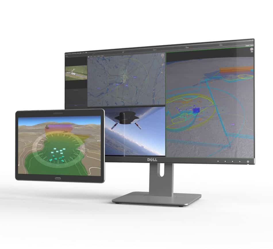
Kongsberg Geospatial
Geospatial Software for Real-Time Mapping, Data Visualization & Situational Awareness
Gold Partner

Embention
UAV Autopilot Flight Controllers, Ground Stations, ESC Controllers & Tracking Antennas
Gold Partner
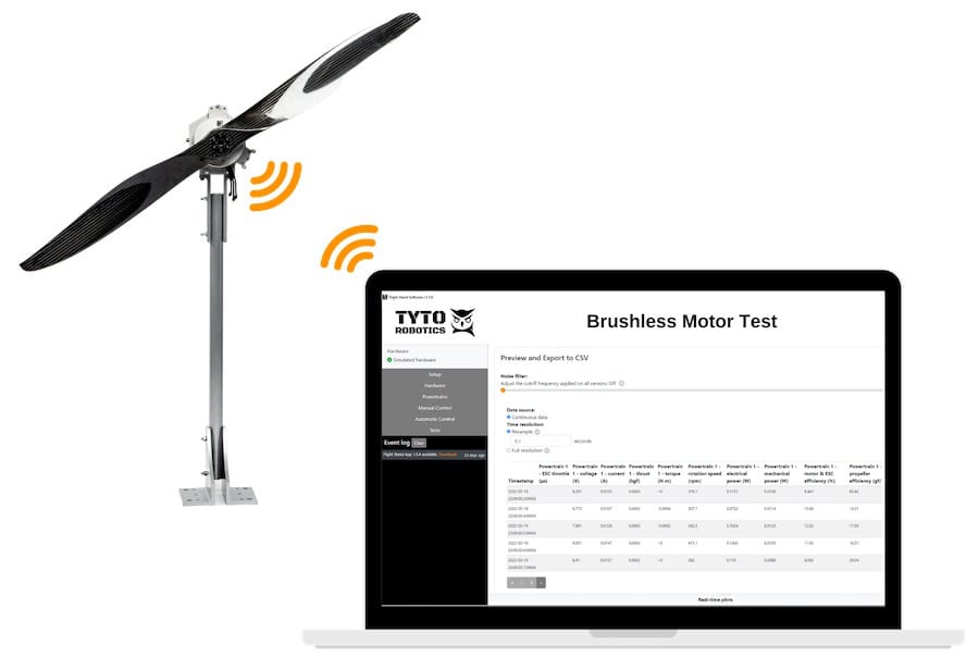
Tyto Robotics
Drone Thrust Stands for Motors, Propellers & Gas Engines, Wind Walls for Drone & Aircraft Wind Tunnel Testing
Gold Partner

uAvionix Corporation
Certified UAV Communications, Navigation, Control, Surveillance, and Combat ID Solutions

Gold Partner


Sagetech Avionics
Certifiable Situational Awareness & BVLOS Solutions for Uncrewed Aircraft Systems in the Defense & Civil Industries
Gold Partner

Sightline Intelligence
Onboard Video Processing Software and Hardware for Unmanned Systems
Gold Partner

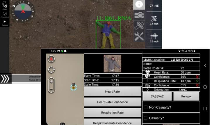
Overwatch Imaging
Advanced Imaging & Sensor Autonomy for Time-Critical Airborne Intelligence Missions
Silver Partner

Review Display Systems
High-Performance Rugged Displays & Custom HMI Solutions for Mission-Critical Unmanned Systems
Silver Partner

ResilienX
Safety Assurance Solutions for The Next Generation of BVLOS Drone & Autonomous Vehicle Operations
Silver Partner

Airvolute
Cutting-Edge Drone Autopilots & UAS Platforms | Hardware & Software Solutions for Drones & Unmanned Systems
Silver Partner

Sense Aeronautics
Cutting-Edge AI-powered Drone Video Analytics Solutions for Object Detection
Silver Partner

Nearthlab
AI-Powered Autonomous Drone Solutions for Public Safety, Defense, and Industrial Inspection
Silver Partner

Vizgard
Edge-Based Visual AI Software Platform for Defence & Security Camera Automation
Silver Partner

Dronetag
Remote ID & Airspace Awareness Solutions for UAV Pilots, Drone Manufacturers & Law Enforcement Units
Silver Partner

Ascend Engineering
Drone Software Engineering Consultancy Providing Comprehensive UAV Platform Development Services
Silver Partner

Packet Digital
High-Performance Drone Batteries, Power Management Systems, Fleet Management Software, Solar MPPT Integration, Celular C2 & Payload Communications

Silver Partner


Tilak.io
Embedded Systems Software Development, Firmware Programming & Drone Software Design/Testing Services
Silver Partner

Performance Drone Works (PDW)
High-Performance Autonomous Drones for Mission-Critical Civilian & Military Applications
Silver Partner

Wavefront Systems
Underwater Sonar: Side-Scan Imaging Sonar & Forward Looking Sonar for Obstacle Avoidance & Navigation
Silver Partner

United Electronic Industries (UEI)
Embedded Controllers, Avionics Testing, HIL Simulation & Data Acquisition Systems for UAV/UAS Applications
Silver Partner

Cambridge Pixel
Radar Software & Sensor Processing Solutions, Maritime Radar Control, Tracking & Visualization for USV
Silver Partner

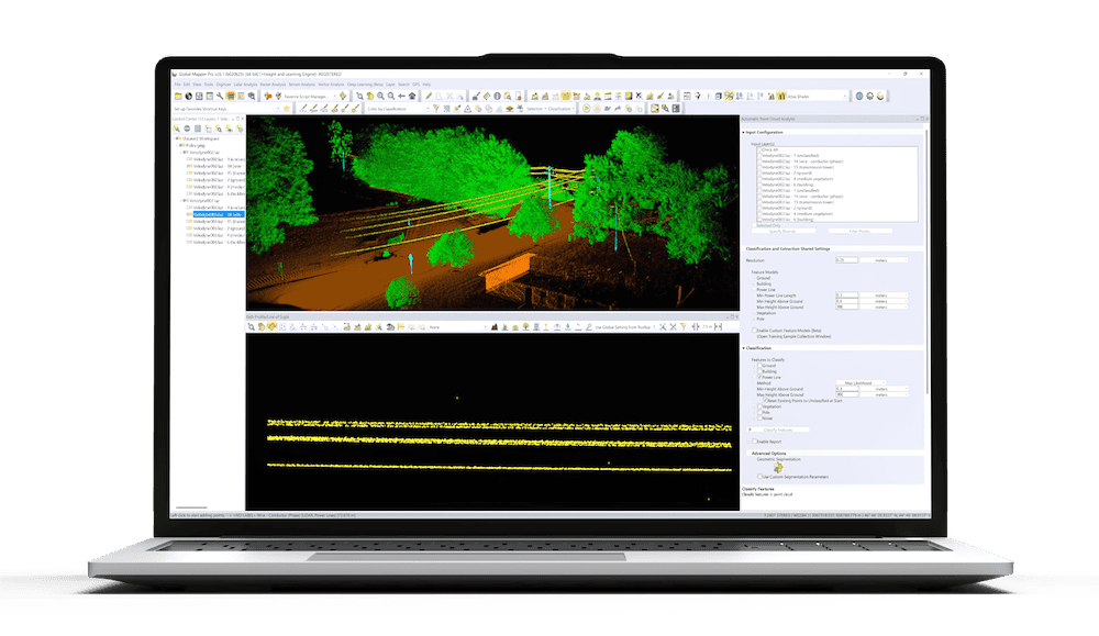
Blue Marble Geographics
Geospatial Data Analysis, Point Cloud Processing and GIS Mapping Software for Drones and UAV
Silver Partner


Simpulse
SDR Technology, UAV Data Links & Tracking Antennas for Long-Range Communications
Silver Partner

EIZO Rugged Solutions
High-Performance Video Graphics, GPGPU, AI/ML Processing & Display Solutions for C5ISR Applications

Silver Partner

CHC Navigation
GNSS Positioning & Navigation Systems, Mobile Mapping UAV LiDAR & Unmanned Surface Vehicles
Silver Partner

Sunhillo Corporation
Radar & ADS-B Surveillance Data Fusion, Integration & Display | UAV Tracking & ATC Integration
Silver Partner

Black Swift Technologies
Autonomous UAS, Research & Inspection UAVs for Industrial Inspection, Survey & Mapping
Silver Partner

Mejzlik Propellers
Custom-Designed Carbon-Fiber Drone Propellers for OEM Manufacturers

Silver Partner


Dynautics Ltd
Marine Autopilots, Unmanned Surface Vehicle Communications, Power Management Modules & Marine Simulators & Software

Silver Partner

Aerobits
Miniature ADS-B Technology (Transceivers/Receivers) and Drone Tracking Transponders for sUAS & UTM/U-Space
Silver Partner
Showcase your capabilities
If you design, build or supply Software & Autonomy, create a profile to showcase your capabilities on this page