
Drone & UAV Services
Find UAV Services and drone service providers for commercial and industrial applications using unmanned aerial systems, including, inspection, survey and photography
Category Presented by


Suppliers: Professional Services

Nokia
Nokia Drone Networks: Fully Automated Drone-In-A-Box Solution for Industrial Operations
Platinum Partner

Volatus Aerospace
Drone Technology Supplier & Drone Service Provider for Public Safety, Transportation & Training
Platinum Partner


Drone as a Service (DaaS) by ZenaDrone
Drone as a Service (DaaS) | Professional Drone Services for Aerial Data Collection
Gold Partner
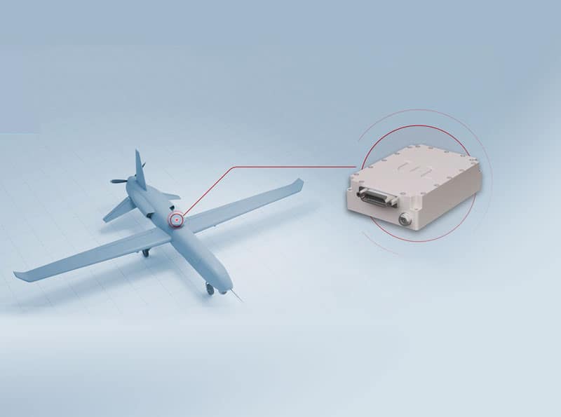
TUALCOM
Anti-Jam GPS-GNSS Devices, Tactical Data Links, Telemetry Systems, Electronic Warfare Equipment & Flight Termination Systems
Gold Partner

AdaCore
Trusted Software Development Toolkits for Mission- & Safety-Critical UAV Software
Gold Partner

ALSEAMAR
Leading-Edge Solutions & Services for Defense, Ocean & Marine Energies Applications
Gold Partner

Hargrave Technologies
Drone Motor Controllers & NDAA-Compliant Drone ESCs for Brushless Electric Motor Control
Gold Partner

Anzen Engineering
Reliability Engineering Services, RAMS Engineering & Analysis for Drone & UAV Manufacturers
Gold Partner

Tyto Robotics
Drone Thrust Stands for Motors, Propellers & Gas Engines, Wind Walls for Drone & Aircraft Wind Tunnel Testing
Gold Partner

Voyis
AUV Payloads & ROV Skids: Underwater Laser Scanners & 4K Stills Cameras for Subsea Inspections & Surveys
Gold Partner


The Tactien Group
Specialist Advisory & Consulting Services Focusing on UAS & Counter-UAS Advancement
Silver Partner

RIBE
European Engineering, Manufacturing & Drone-in-a-Box Infrastructure Partner for Professional UAV Operations
Silver Partner

Blue Nose Aerial Imaging
Drone Aerial Imaging Services for Solar Farms, Construction & Infrastructure Inspection In The United States
Silver Partner

ResilienX
Safety Assurance Solutions for The Next Generation of BVLOS Drone & Autonomous Vehicle Operations
Silver Partner


RTKdata
Cutting-Edge RTK Solution Providing Precision GNSS Positioning for UAVs & Unmanned Systems
Silver Partner


Ascend Engineering
Drone Software Engineering Consultancy Providing Comprehensive UAV Platform Development Services
Silver Partner

Tilak.io
Embedded Systems Software Development, Firmware Programming & Drone Software Design/Testing Services
Silver Partner

Moscat Ingenieria
Electronic Engine Control Units (ECU) & Management Systems for EFI Engines + Engineering Development Services
Silver Partner

United Electronic Industries (UEI)
Embedded Controllers, Avionics Testing, HIL Simulation & Data Acquisition Systems for UAV/UAS Applications
Silver Partner

San Francisco Circuits
PCB Fabrication & Assembly; RF, Military Grade, Flex, & Metal Core PCB Capabilities for Unmanned Systems
Silver Partner
Showcase your capabilities
If you design, build or supply Professional Services, create a profile to showcase your capabilities on this page
Products


Drone & UAV Services

UAVs (unmanned aerial vehicles) and drones can be used to provide a wide range of services that can be performed more efficiently or with lower costs than using manual or traditional methods such as manned aircraft. The use of drones for these services may also be safer, as it does not require putting humans in potential danger.
Platforms
 Drones services may include a choice of UAV platform, including multirotors, fixed-wing drones and unmanned helicopters, as well as payloads, according to the requirements of the job. Service providers may offer a number of pricing models, including per flight, per hour, or per volume of data collected and processed.
In addition to ad-hoc service contracts, many operators now procure UAV capability through a Drone-as-a-Service (DaaS) model, where aircraft, crews, compliance, and data delivery are provided as a managed service.
Payloads
Drones are commonly used for aerial photography and videography, and can be equipped with a range of different camera payloads with high-definition (HD) and 4K capabilities. Applications for drone aerial photography services include real estate, leisure, and broadcasting.
Unmanned Aerial Photography
Aerial photography and LiDAR scanning can also be used for high-precision photogrammetry and GIS services, creating 2D and 3D maps and models of landscapes and buildings for a wide variety of applications such as construction, environmental survey, forest management and geology. These services may include the provision of deliverables such as maps, orthophotos and models.

Drone Services by Volatus Aerospace
Inspection Services

Hydrogen Refueling Services by Cellen
Drones use visual and thermal imaging cameras to perform inspections of roads, railways, power lines and other critical infrastructure, as well as energy facilities such as solar farms, oil and gas platforms, and wind turbines. Drone inspection services may use AI-powered software to aid in fault-finding and making recommendations for repairs and maintenance. Multispectral sensors are also used to perform services for precision agriculture, such as crop health monitoring.
Unmanned Delivery
Drone delivery services provide transportation of cargo, both for last-mile applications such as grocery delivery as well as more long-range missions such as providing essential supplies to remote communities. They may also perform flights between hospitals and laboratories for delivery of critical medical items such as organs, blood, and test samples.


